

 Cymraeg
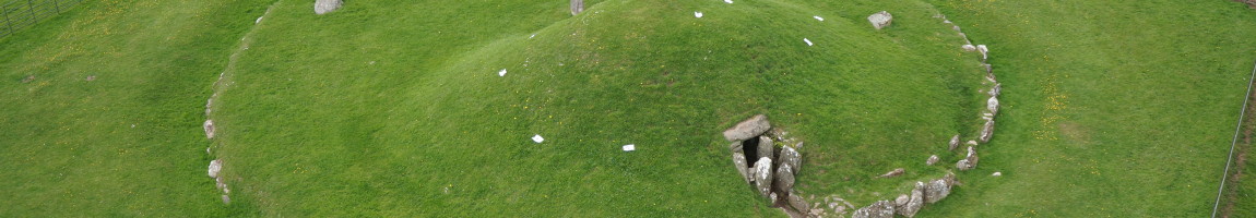
Photographing the large mounds of burial chambers is a tricky business – being able to get high enough to make sure you can see the whole mound requires a bit of aerial camera work… Enter our aerial surveying platform (which we will tell you more about in an upcoming special blog post!), an Unmanned Aerial Vehicle (UAV) carrying a camera underneath. Being able to fly above the mound lets us take photographs like this one (you can see the rest of the photographs here):
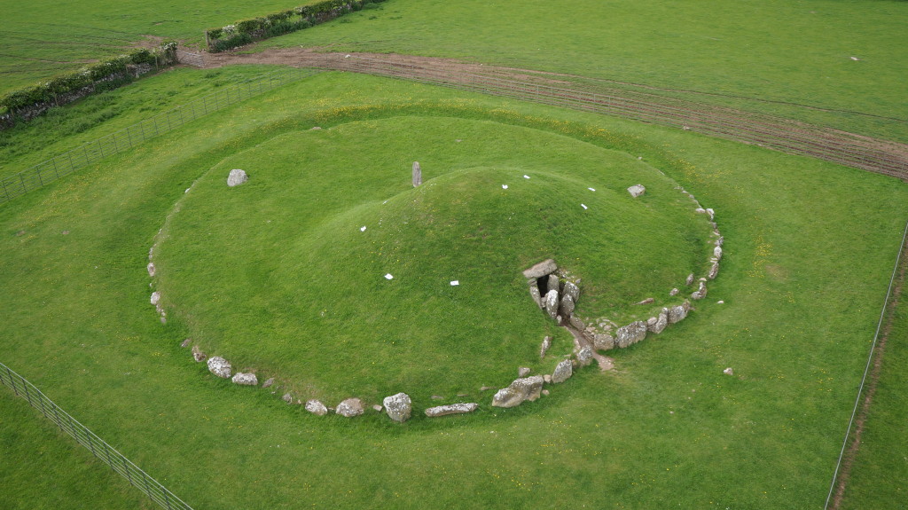
The other problem with photographing the mound is that the uniform texture of the grass makes it difficult for the computer to pick out good keypoints, which is why we have used some optical markers (the square sheets of paper) on top of the mound – these are just shapes that the software can use to match up the photographs.
We also got some video footage flying around the mound, which shows the site very nicely in context with the surrounding rural landscape.
The photographs were used to make a model of the mound. We also have photographs of the inside of the mound, which we are hoping to combine into a model of greater detail in the future.